
Arcturus at 19° W
also known as Aurora 4A
Technical details
- Status
- moving
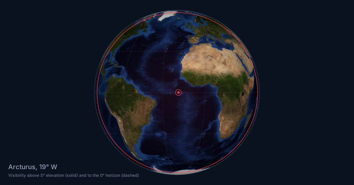
- Orbital position
- 19° WChannel line-up at 19° W | Coverage maps
- NORAD number
- 56371
- COSPAR number
- 2023-060B
- Operator
- Astranis Space Technologies Corp.
- Manufacturer
- Astranis Space Technologies Corp.
- Model
- MicroGEO
- Launch
- 01 May 2023 from Cape Canaveral SFS on Falcon Heavy
- Launch mass
- 400 kg
- Expected lifetime
- 10
- Callsign
- S3092
- Beacon
- 19702, 19705, 19706
- Orbit
- GEO

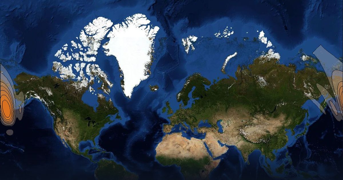
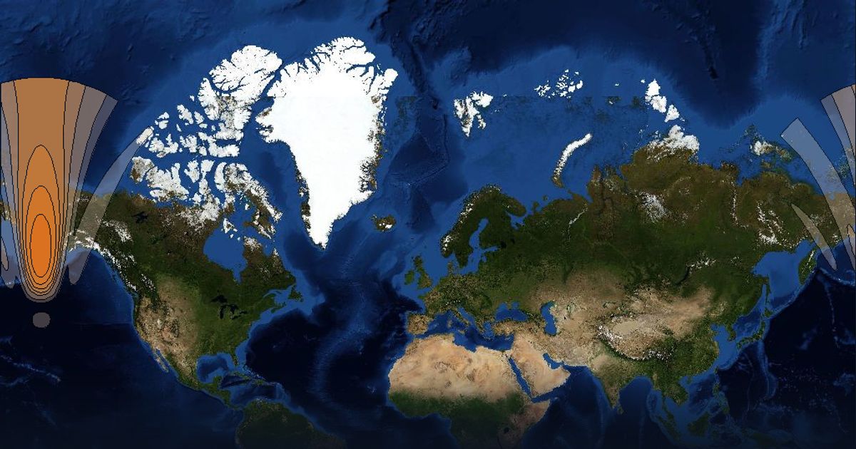
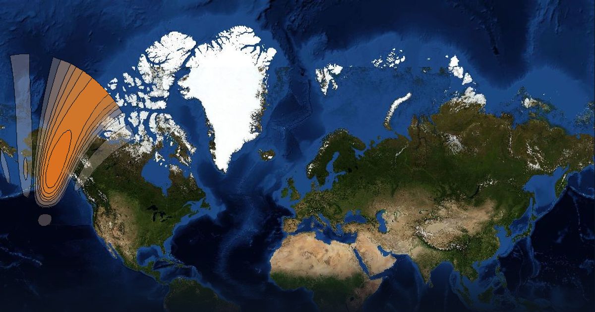
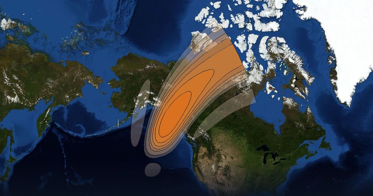
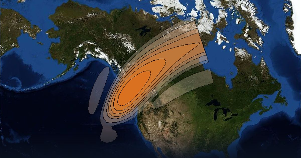
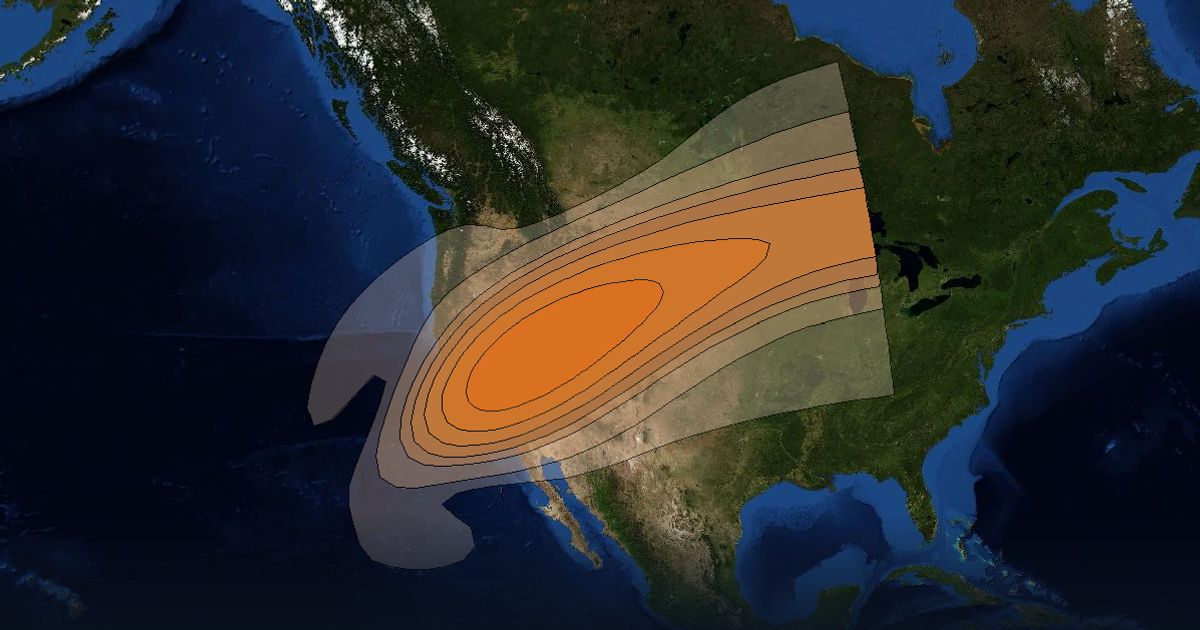
Beam footprints
About Arcturus
Small geostationary high-throughput communications satellite to be used to provide broadband communications services for Alaska for Pacific Dataport. Astranis will be the owner and operator of the satellite. The payload was designed to deliver 7.5 gigabits per second. After reaching orbit, Arcturus suffered a solar array malfunction. It will be temporarily replaced with UtilitySat 1, which is to launch later in 2023, until a full replacement is available. Relocating to 78E Orbital location