Eutelsat 16B at 16° E

also known as E16B, Eurobird 16, Hotbird 4, HB-4, Atlantic Bird 4, AB-4
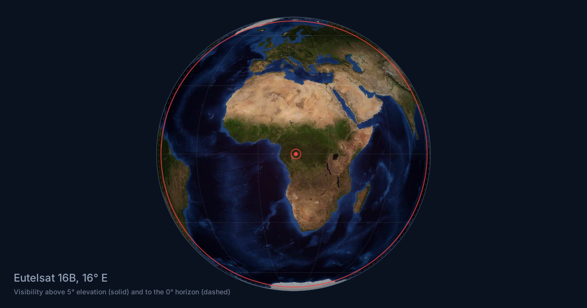
Eutelsat 16B satellite coverage area from 16° E: visibility footprint over Earth
Theoretical visibility from geostationary orbit at 16° E. Beam footprints are narrower, see the coverage maps.

Technical details

Status
deorbited
Orbital position
16° EChannel line-up at 16° E | Coverage maps
NORAD number
25237
COSPAR number
1998-013A
Operator
Eutelsat Communications S.A.Eutelsat Communications S.A. logo
Manufacturer
Airbus Defence and Space
Model
Eurostar-2000+
Launch
27 Feb 1998 from Guiana Space Center on Ariane 42P
Launch mass
2885 kg
Dry mass
1310 kg
Expected lifetime
14 yrs.
Beacon
11704.6H
Orbit
GEO

Beam footprints

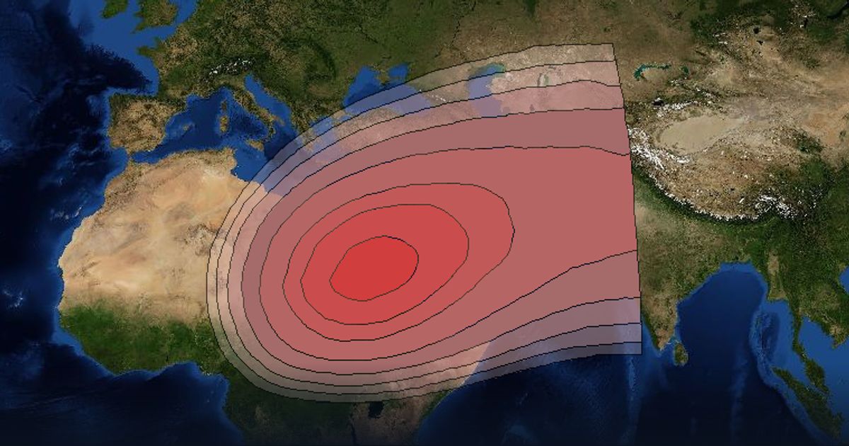
Eutelsat 16B Ku-band Steerable Beam beam footprint coverage map, Ku band
Ku-band Steerable Beam (Ku band)Open in viewer
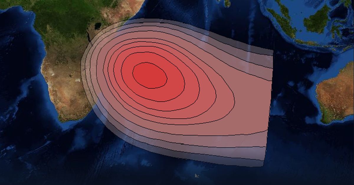
Eutelsat 16B Ku-band Steerable Beam beam footprint coverage map, Ku band
Ku-band Steerable Beam (Ku band)Open in viewer
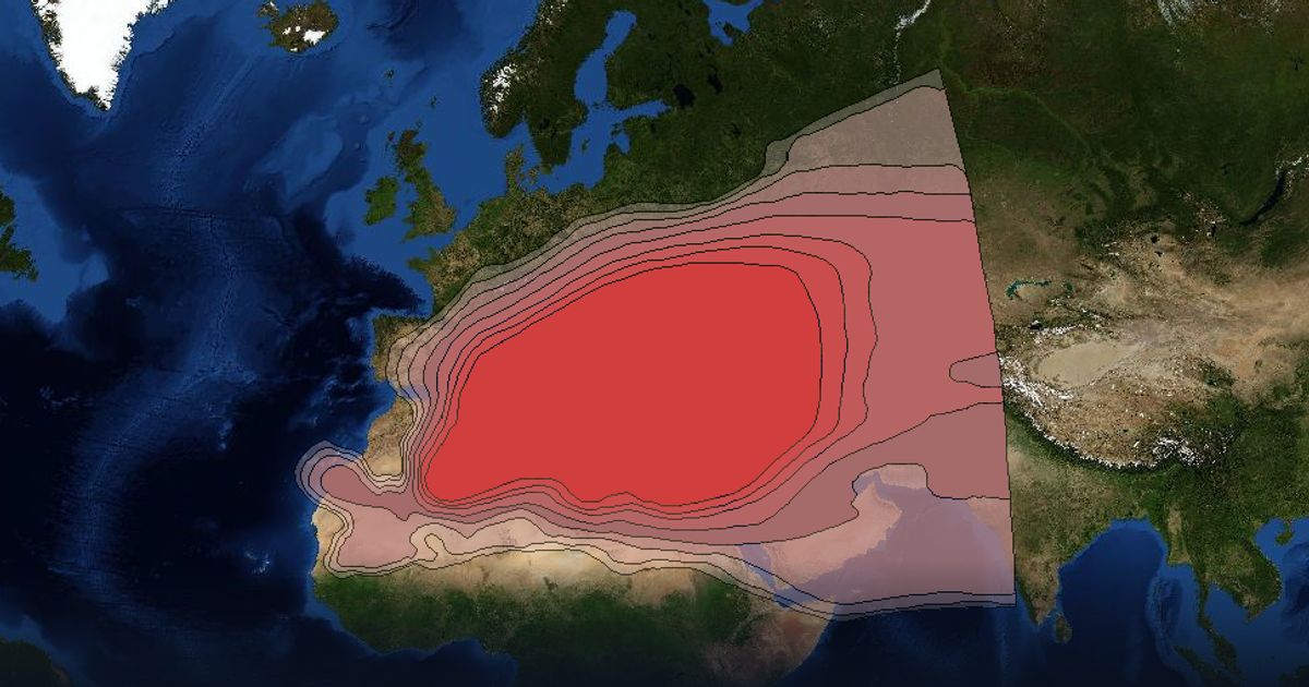
Eutelsat 16B Ku-band Wide Beam beam footprint coverage map, Ku band
Ku-band Wide Beam (Ku band)Open in viewer
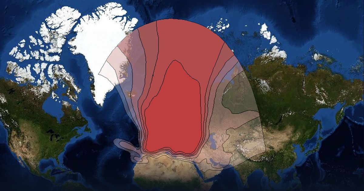
Eutelsat 16B Ku-band Wide Beam beam footprint coverage map, Ku band
Ku-band Wide Beam (Ku band)Open in viewer

About Eutelsat 16B

20 Ku-band transponders to cover Europe and North Africa; 20 active channels

Other satellites at 16° E